Ting Cheung Website Review: The Battle of Hong Kong 1941: A Spacial History Project
Introduction
The Battle of Hong Kong (香港保衛戰,香港の戦い,8-25 December 1941) was one of the early battles of the Pacific War, and it was without a doubt the most significant military engagement between two regular armed forces that took place in Hong Kong in its modern history. The invading Japanese forces of around 35,000 strong faced a garrison of 13,500 consisted of British, Indian, Canadian, and local troops. The two forces fought in the New Territories, Kowloon, and Hong Kong Island in the eighteen days. The attacking force suffered 2,218 casualties (KIA, WIA, and MIA) while the British Hong Kong garrison suffered 3,445. On the other hand, approximately 4,000 civilians were killed and wounded during the Battle of Hong Kong. Hong Kong eventually surrendered on 25 December 1941, then entered a period of Japanese occupation that lasted for three years and eight months.
Purpose
There have been numerous studies on the Battle of Hong Kong in 1941. More primary sources in the form of the memoirs are available in different forms, sometimes on the internet. However, it has been a challenge for researchers to show the spatial and temporal dimensions of the battle and their relationship with the events, the people’s experience, and the war ruins that still exist in Hong Kong.
The spatial history project “Hong Kong 1941” uses geographic information systems (GIS) to build a web map about the Battle of Hong Kong and a database of British military installations in Hong Kong during the Second World War. It offers an user friendly historical database for educators, researchers and other interested public. The Principal Investigator of the project is Kwong Chi Man (鄺智文), Associate Professor of the Department of History, Hong Kong Baptist University.[1] He and his research team have studied the Hong Kong battle since 2011, collecting first-hand data from the United Kingdom, the United States, Japan, Australia, and other places. The research team also created the “Hong Kong Resistance: the British Army Aid Group, 1942-1945 (https://digital.lib.hkbu.edu.hk/history/baag.php?lang=EN)” in 2020 to explore the underground resistance movements in Hong Kong during the Second World War.
Design and Functionality
The web map contains the following layers of data[2]:
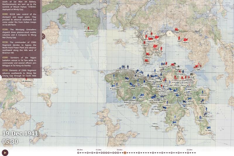
- Unit disposition: The map divides the Battle of Hong Kong campaign into 51 “time-steps”, each showing the positions and status of the units on both sides. The data granularity is down to platoon/squad/individual artillery pieces.
- The location of various military structures: Including coastal Defence batteries, anti-aircraft batteries, pillboxes, headquarters, shelters, medical posts, communication lines, demolition points, pre-arranged artillery targets, etc. The data granularity is up to individual buildings (such as individual pillboxes).
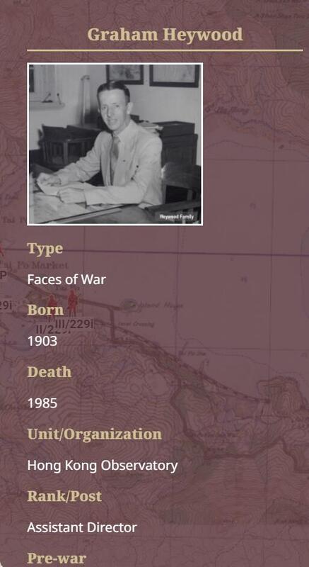
- Faces of War: The stories of those who had experienced the battle.
- Objects of War: Objects and artefacts related to the battle, such as weapons, vehicles, military aircraft, vessels, personal equipment, and others.
- Images of War: Photos taken during the period.
- Units: Information about the units on both sides participating in the battle.
- A list of Hong Kong combatants: Personal information on 1,600 Hong Kong residents from different ethnic groups and backgrounds who participated in the battle.
Analysis
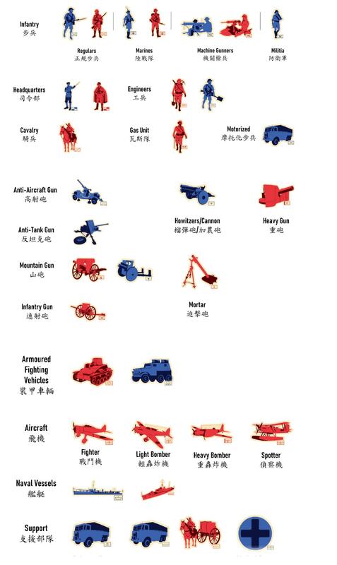
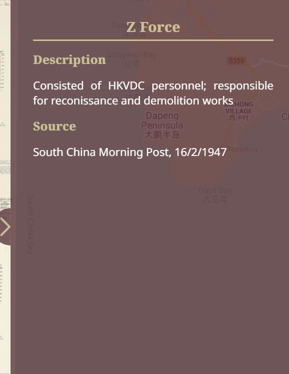
The website is user-friendly as it claimed. It provides note on unit symbols of both British and Japanese forces, which helps the user easier to understand the movement of armies. As I scroll the timeline, the map cleary presents the engagement of two forces, which includes both army, navy and air force. When I click into the unit, it will pop out the information of the unit. For example, I click the unit of Z Force on December 8, 1941 15:00, then the system will show the description: "Consisted of HKVDC personnel; responsible for reconissance and demolition works", which allows us to know the duty of this unit. It also provides the source that recorded the location of the unit. In the same example of Z Force, the system tells us that the source came from South China Morning Post, February 16, 1947. The information of Japanese units presented in the map is similar to the British force that description and source were also provided.
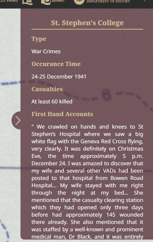
An interesting function of the map is that we can choose the may layer from several options. Thus, we are able to choose the old Hong Kong map in 1939, 1941 and 1939/1945 to review the battle's timeline, which could provide more authetic feeling to the user when they are using it. We can also add other layer to the map, such as war crimes. Then we can click to the related icon to view the additional information about such event. This could allow the user further understand the history of the war.
The map successfully demonstrates the ferocious offence of Japanese force, the retreat and the last stand of British force dynamically. As the time moves, the units moves, and the users can clearly observe the Japanese troops were encircling the British force, whereas the British retreated to Hong Kong Island and began their last stand. I believe the dynamic presentation of information through spatial system adopted by this project would be a great manner to be adapted to our project.
Citation
[1] Department of History, Hong Kong Baptist University, Dr. Kwong, Chi Man, accessed February 16, 2022, https://histweb.hkbu.edu.hk/people/detail/25/7
[2] Hong Kong Baptist University Library, History in Data, accessed February 16, 2022, https://digital.lib.hkbu.edu.hk/1941hkbattle/zht/about.php
